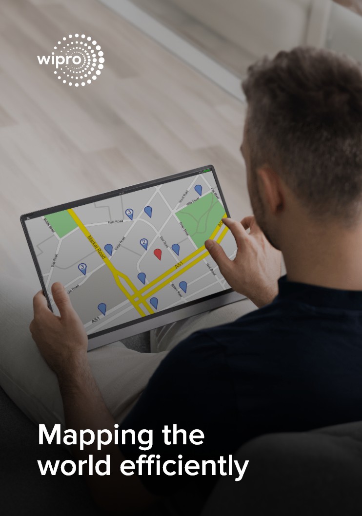
Geospatial technologies have evolved into business critical capabilities for numerous industries. By harnessing precise location data, organizations can deliver advanced and personalized insights to their users. At Wipro, we offer comprehensive geospatial services that encompass design, development, deployment, and maintenance of map and data services. Our solutions cater to leading companies in various applications such as navigation apps, ride-hailing, autonomous cars, 3D analysis, utility asset management, content moderation, indoor navigation, risk analysis, urban studies, geo-analytics and location analytics. Powered by our proprietary AI, ML, and automation tool, our services ensure the highest accuracy of data, enabling faster go-to-market strategies.

Effectively mapping the world using Wipro’s impeccable mapping capabilities

         Your Trusted and Tested Partner

15+

Years Practice Experience

8500+

Associates

350K Km+

ADAS friendly maps modeled

Sectors

Telecom

Telecommunications networks are expansive and create large quantities of geographically dispersed asset data to build on high-quality geographic data.


Retail

Reports suggest that e-commerce is undeniably on the rise as a retail channel, with estimates indicating that 21% of retail sales will be conducted online by 2024.


Manufacturing

At Wipro, we specialize in creating intelligent maps for manufacturers, offering a holistic view of data related to the overall supply chain.


Agriculture

Wipro has experience in preparing agriculture datasets for the use of farmers, scientists, authorities, and other related parties to analyze agriculture data and improve farming.


Automobile

The usage of Electric Vehicles (EVs) has seen a meteoric rise, with around 14% of all cars sold in 2022 being EVs. The International Energy Agency (IEA) estimates that this will increase to 35% by 2030.

AV Mapping

Over the past decade, self-driving cars have undergone rapid advancements, becoming more sophisticated and reliant on artificial intelligence to navigate public roads safely.

Case Studies

Tech Major Launched Next Gen Mapping and Navigation

We provided 20+ GIS experts in just five days, helping the client meet their timeline and quality requirements, resulting in the launch of enhanced features and better navigation.


Leading American multinational technology company optimized its map operations

We assisted the client in optimizing their map operations, achieving a 20% reduction in manual processing through automation.

Leading American multinational Transportation Network Company (TNC) efficiently managed its map data services

We helped the client to reduce human validation by 18% and achieve 30% efficiency gain through dynamic annotation automation.


Articles 

Building Stronger Deep Technologies Through Data Annotation

How you can get to pole position in your ride hailing business

Autonomous Vehicles are changing the face of transportation

Wipro's Capabilities in the Autonomous Vehicle Industry

Contact Us