
GIS in agriculture enables farmers to map and analyze their field data. The application of GIS in agriculture is important because it helps map current and future variations in crop output, as well as moisture content of the soil. Mapping the current features of a farm enables scientists and farmers to collaborate towards the shared goal of creating more diverse, effective, and efficient farming techniques.
Wipro has experience in preparing agriculture datasets for the use of farmers, scientists, authorities, and other related parties to analyze agriculture data and improve farming. These services include:
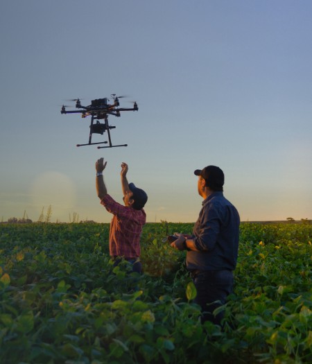
- Capturing and processing agriculture data from different sources such as remote sensing, GPS surveys, aerial photos, and drone data, and converting it into a compatible format for the client's GIS software. Additionally, we ensure that all spatial imagery is properly scaled and aligned for various analyses. This is achieved through digitization, georeferencing, clipping, and merging methods, resulting in an interactive field map that displays crop position and health status, topography, soil type, fertilization, and other critical details.
- Using maps to forecast crop production by integrating AI technologies and big data in agriculture. This is achieved by utilizing GIS data prepared from satellite images, thermal sensors, and multispectral cameras.
- Deploying drone technology to assist in data collection, particularly for local field data such as plant height, diseases, flower count, and the presence of weeds, among others.
- Mapping damaged crops for insurance processing is a crucial task in agriculture. Through our maps, the process of identifying categories of damaged crops and processing claims can be done with precise technical details, thereby eliminating false claims.
- Similarly, authorities can verify other claims and requests such as loans, subsidies, etc., made by farmers, and these can be effectively processed using our agriculture maps.
- Mapping land and infrastructure for land policy and reforms. Implementing technology infusion into land reform programs can significantly reduce efforts and shorten lead time due to ever-changing compliance guidelines.