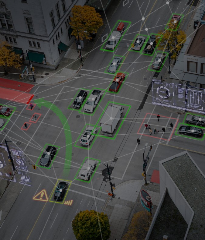


Every asset, network, customer and decision has a location context. The world's leading organizations are harnessing geospatial services to unlock that context and turn spatial data into a powerful driver of growth, efficiency and innovation. From autonomous mobility and digital twins to resilient infrastructure and sustainable operations, Geospatial Intelligence is redefining how organizations operate and compete.

Wipro’s Geospatial Services and Solutions practice helps organizations unlock the full value of location intelligence through a powerful combination of AI, digital twins, earth observation, drone technologies and advanced analytics. Whether accelerating 5G rollouts, optimizing critical infrastructure, enabling autonomous vehicles, modernizing utility networks or building smarter cities, we help enterprises turn spatial complexity into business advantage. By connecting physical assets, operational data, and real-time intelligence, organizations can make faster decisions, improve efficiency, mitigate risk and create lasting value in an increasingly dynamic world.


What You Could Achieve

99%

Accuracy

60%

Cost Reduction

40%

Faster Delivery

One Ecosystem Partner Across the Value Chain

Delivering the full geospatial services lifecycle from design to operations.

Scale Without Constraints

Rapidly scale geospatial programs with 14K+ experts worldwide.

Intelligence That Keeps Delivering

Powered by Wipro Intelligence™ to unlock AI driven business value.

Services

GIS & Mapping Services

Power seamless navigation, intelligent maps and faster business decisions

Location Intelligence & Spatial Analytics

Turn location data into growth, efficiency, and measurable business value

Digital Twins & 3D Geospatial Modelling

Reduce risk, optimize investments, and accelerate planning and execution

Earth Observation & Remote Sensing

Strengthen resilience, sustainability, and response to real time environment

Energy & Utility Intelligence

Maximize asset reliability, resilience, and long-term infrastructure value

Geospatial AI & Automation

Scale innovation, increase productivity, and accelerate business outcomes

Geospatial Operations & Managed Services

Improve efficiency and lower costs through managed geospatial operations

Automotive & Mobility Intelligence

Enable safer mobility, faster innovation, and superior customer experiences

Case Studies

Tech Major Launched Next Gen Mapping and Navigation

We provided 20+ GIS experts in just five days, helping the client meet their timeline and quality requirements, resulting in the launch of enhanced features and better navigation.


Leading American multinational technology company optimized its map operations

We assisted the client in optimizing their map operations, achieving a 20% reduction in manual processing through automation.

Leading American multinational Transportation Network Company (TNC) efficiently managed its map data services

We helped the client to reduce human validation by 18% and achieve 30% efficiency gain through dynamic annotation automation.


Featured Resources

Contact Us